 geocatalogue.geoportail.lu
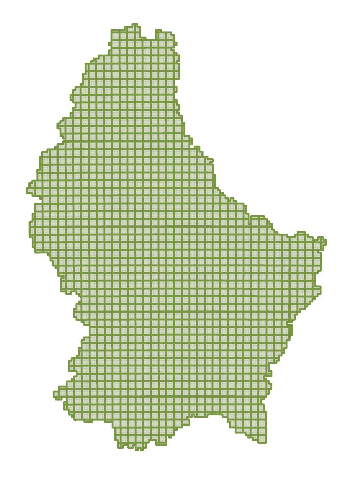
LiDAR tiles 2024
Tile sheet for the 2024 point cloud.
Simple
- Citation identifier
- / 875eede1-dc46-4289-8c22-04271bf89bb0
- Presentation form
- Digital map
- Status
- On going
- Point of contact
-
Organisation name Individual name Electronic mail address Role Administration du Cadastre et de la Topographie
Administration du Cadastre et de la Topographie
Point of contact
- Maintenance and update frequency
- As needed
-
Entités au Grand-Duché de Luxembourg
-
-
Grand-Duché du Luxembourg
-
- Keywords
-
-
Grand Duchy of Luxembourg, Lidar, Point cloud, 3D, Relief, Geodata
-
- Keywords
-
-
geoportail.lu
-
- Keywords
-
-
intranet
-
-
geoportail.lu themes
-
-
Main
-
-
geoportail.lu structure
-
-
Main>Digital elevation model (BD-L-LiDAR)>LiDAR
-
Main>Land surface>Digital elevation model (BD-L-LiDAR)>LiDAR
-
- Spatial representation type
- Vector
- Denominator
- 0
- Character set
- UTF8
N
S
E
W
))
- Reference system identifier
- EPSG / http://www.opengis.net/def/crs/EPSG/0/2169
- OnLine resource
-
Protocol Linkage Name OGC:WMS-1.3.0-http-get-map
https://wms.geoportail.lu/public_map_layers/service 2971
WWW:LINK-1.0-http--link
https://data.public.lu/fr/datasets/lidar-2024-releve-3d-du-territoire-luxembourgeois/ OGC API-Features
https://features.geoportail.lu/collections/2971 OGC API - Features
- OnLine resource
Metadata
- File identifier
- 875eede1-dc46-4289-8c22-04271bf89bb0 XML
- Metadata language
- Français
- Character set
- UTF8
- Hierarchy level
- Dataset
- Hierarchy level name
-
dataset
- Date stamp
- 2025-03-06T15:07:22Z
- Metadata standard name
-
ISO 19115:2003/19139
- Metadata standard version
-
1.0
- Metadata author
-
Organisation name Individual name Electronic mail address Role Administration du Cadastre et de la Topographie
Administration du Cadastre et de la Topographie
Point of contact
- Other language
-
Language Character encoding Luxembourgish; Letzeburgesch UTF8 English UTF8 German UTF8 French UTF8


)))