 geocatalogue.geoportail.lu
HQ100 [probabilité moyenne]
HQ100 [mëttel Probabilitéit]
HQ100 [medium probability]
HQ100 [mittlere Wahrscheinlichkeit]
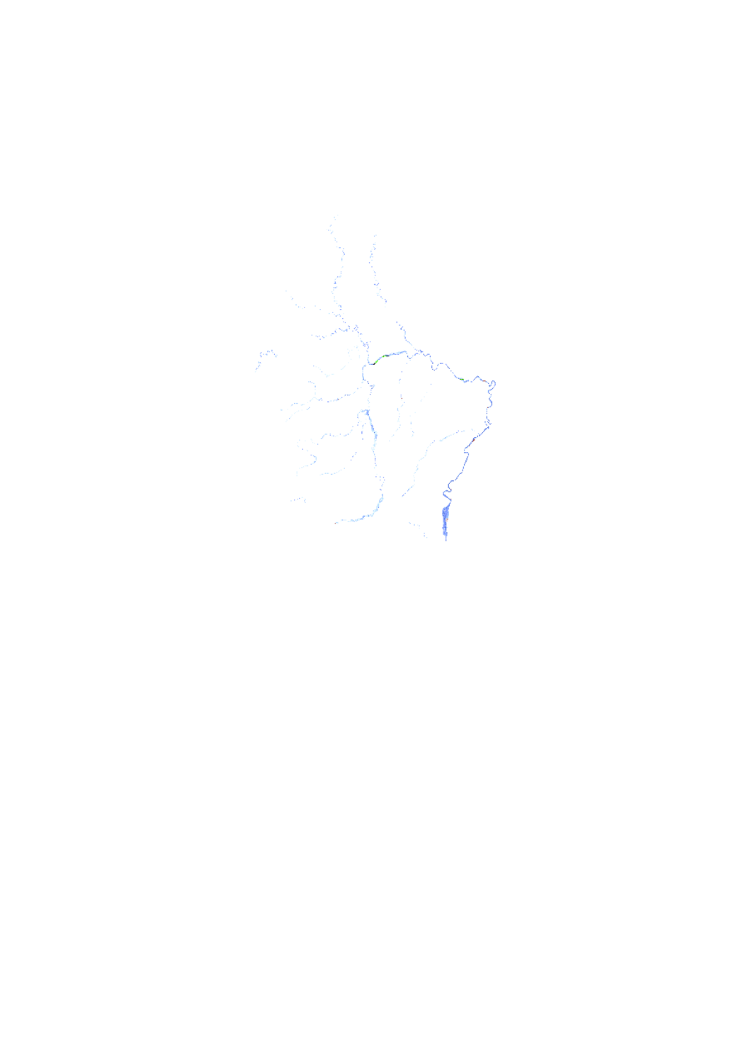
<p>Carte des zones inondables représentant la zone inondable et le niveau d'eau lors d'une crue d'un temps de retour de 10 ans, telle que demandée par la Directive Inondation 2007/60/CE.</p> <p>Cette couche est destinée à la consultation publique du projet des cartes des zones inondables et des cartes des risques d'inondations 2019. La consultation publique aura lieu du 17. juin au 17 septembre.</p>
<p>Héichwaassergeforenkaart, konform zu der Héichwaasser Richtlinn 2007/60/CE, déi d'Iwwerschwemmungsgebitt an d'Waasserdéift bei engem 100-järegen Héichwaasser weist.</p> <p>Desen Layer déngt der Consultatioun vun der Ëffentlechkeet vum Projet vun den Héichwaassergefohren- an Héichwaasserrisikokaarten 2019. Des Consultation geet vum 17. Juni bis 17. September.</p>
<p>Hochwassergefahrenkarte nach der Hochwasserrisikomanagement Richtlinie 2007/60/EG , die das Überschwemmungsgebiet und den Wasserstand für ein 100-jähriges Hochwasserereignis darstellt.</p> <p>Dieser Layer dient der öffentlichen Konsultation des Projektes der Hochwassergefahren- und Hochwaserrisikokarten 2019. Die Konsultation wird vom 17. Juni bis zum 17. September angehalten.</p>
<p>Flood hazard map based on the floods directive 2007/60/EC, showing the floodplain and the water depth of a 100-year flood event.</p> <p>This Layer is used for the public consultation for the project of the flood hazard an flood risk maps 2019. This consultation will be held from 17 June to 17 September.</p>
Simple
-
IdentificateurIdentificateurCitation identifierIdentifikator
- / 859110c2-5c99-4784-8277-ea358d4d67ce
-
Forme de la présentationForme de la présentationPresentation formPräsentationsform
-
Carte numériqueCarte numériqueDigital mapDigitale Karte
-
EtatEtatStatusBearbeitungsstatus
-
Mise à jour continueMise à jour continueOn goingKontinuierliche Aktualisierung
-
Fréquence de mise à jourFréquence de mise à jourMaintenance and update frequencyÜberarbeitungsintervall
-
Lorsque nécessaireLorsque nécessaireAs neededBei Bedarf
-
Entités au Grand-Duché de Luxembourg
-
-
Grand-Duché du Luxembourg
Grand-Duché du Luxembourg
Grand-Duché du Luxembourg
Grand-Duché du Luxembourg
-
- Keywords
-
-
zones inonables, Hauteur d'eau, HQ100, crue centennale
Iwwerschwemmungsgebitt, Waasserdéift, HQ100, 100-järegt Héichwaasser
Überschwemmungsgebiete, Wassertiefe, HQ 100, 100-jährliches Hochwasser
Flooded Area, Water level, HQ100, 100 year flood event
-
- Keywords
-
-
geoportail.lu
geoportail.lu
geoportail.lu
geoportail.lu
-
-
geoportail.lu themes
-
-
Eau
Wasser
Water
Wasser
-
Lenoz
Lenoz
Lenoz
Lenoz
-
Grand Public
Allgemeng
Main
Allgemein
-
-
geoportail.lu structure
-
-
Eau>Directive inondation [DI]>Projet des cartes des zones inondables 2019
Eau>Directive inondation [DI]>Projet des cartes des zones inondables 2019>Projet vun den Héichwaassergeforenkaarten 2019
Water>Floods directive [FD]>Project of the flood hazard maps 2019
Wasser>Hochwasserrisikomanagement-Richtlinie [HWRM-RL]>Projekt der Hochwassergefahrenkarten 2019
-
Lenoz>Directive inondation [DI]>Projet des cartes des zones inondables 2019
Lenoz>Directive inondation [DI]>Projet des cartes des zones inondables 2019>Projet vun den Héichwaassergeforenkaarten 2019
Lenoz>Floods directive [FD]>Project of the flood hazard maps 2019
Lenoz>Hochwasserrisikomanagement-Richtlinie [HWRM-RL]>Projekt der Hochwassergefahrenkarten 2019
-
Grand Public>Environnement, biologie et géologie>Directive inondation [DI]>Projet des cartes des zones inondables 2019
Grand Public>Environnement, biologie et géologie>Directive inondation [DI]>Projet des cartes des zones inondables 2019>Projet vun den Héichwaassergeforenkaarten 2019
Main>Environment, Biology and Geology>Floods directive [FD]>Project of the flood hazard maps 2019
Allgemein>Umwelt, Biologie und Geologie>Hochwasserrisikomanagement-Richtlinie [HWRM-RL]>Projekt der Hochwassergefahrenkarten 2019
-
-
Contraintes d'accèsContraintes d'accèsAccess constraintsZugriffseinschränkungen
-
Autres restrictionsAutres restrictionsOther restrictionsBenutzerdefinierte Einschränkungen
-
Type de représentation spatialeType de représentation spatialeSpatial representation typeRäumliche Darstellungsart
-
VecteurVecteurVectorVektor
-
Dénominateur de l'échelleDénominateur de l'échelleDenominatorMaßstabszahl
- 0
-
Encodage des caractèresEncodage des caractèresCharacter setZeichensatz
-
Utf8Utf8UTF8Utf8
))
-
Nom du système de référenceNom du système de référenceReference system identifierIdentifikator des Referenzsystems
- EPSG / http://www.opengis.net/def/crs/EPSG/0/2169
- OnLine resource
-
Protocol Linkage Name https://map.geoportail.lu/theme/main?version=3&zoom=8&X=667917&Y=6394482&lang=fr&layers=1701&opacities=1 HQ100 [probabilité moyenne]
HQ100 [mëttel Probabilitéit]
HQ100 [medium probability]
HQ100 [mittlere Wahrscheinlichkeit]
Metadata
-
Identifiant de la ficheIdentifiant de la ficheFile identifierMetadatensatzidentifikator
- 859110c2-5c99-4784-8277-ea358d4d67ce XML
-
LangueLangueMetadata languageSprache
- Français
-
Jeu de caractèresJeu de caractèresCharacter setZeichensatz
-
Utf8Utf8UTF8Utf8
-
Type de ressourceType de ressourceHierarchy levelHierarchieebene
-
Jeu de donnéesJeu de donnéesDatasetDatenbestand
- Hierarchy level name
-
dataset
-
Date des métadonnéesDate des métadonnéesDate stampDatum
- 2021-02-04T22:59:25
- Metadata standard name
-
ISO 19115:2003/19139
- Metadata standard version
-
1.0
- Metadata author
-
Organisation name Individual name Electronic mail address Role Administration de la gestion de l'eau - Division de l'hydrologie
Claude Schortgen
Point de contactPoint de contactPoint of contactAnsprechpartner
- Other language
-
Language Character encoding FrançaisFranséischFrenchFranzösischUtf8Utf8UTF8Utf8LuxembourgeoisLëtzebuergeschLuxembourgish; LetzeburgeschLuxemburgischUtf8Utf8UTF8Utf8AnglaisEngleschEnglishEnglischUtf8Utf8UTF8Utf8AllemandDäitschGermanDeutschUtf8Utf8UTF8Utf8
)))