 geocatalogue.geoportail.lu
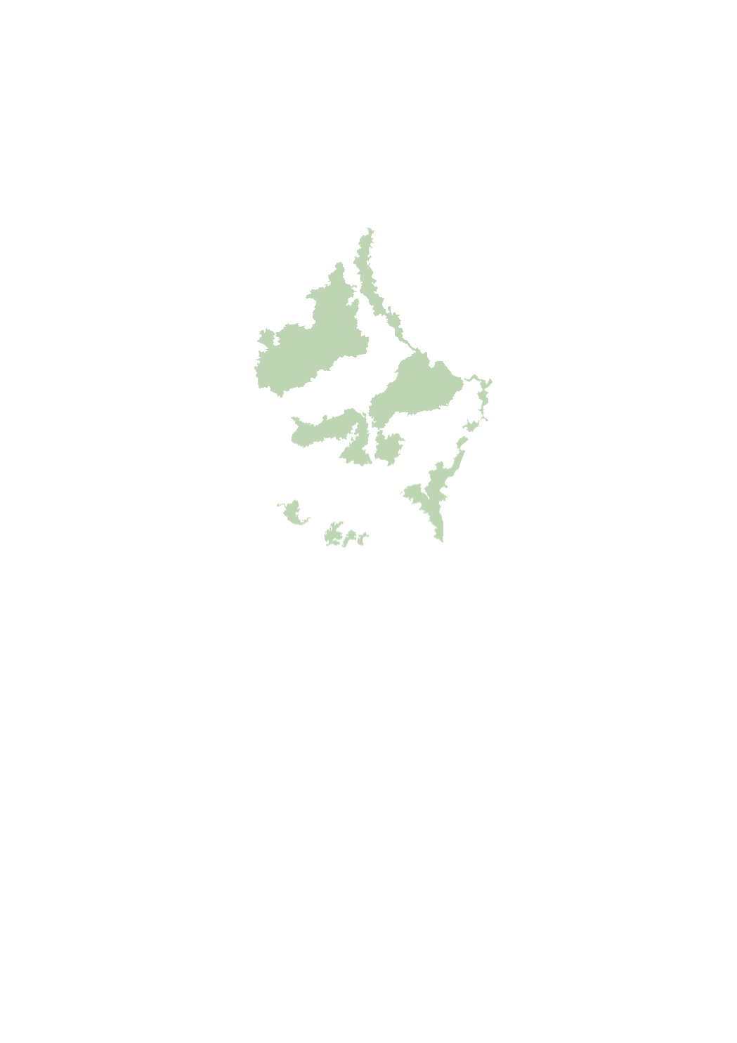
Sectoral plan landscapes
The sectoral plan ‘landscapes’ aims at creating a framework for spatial planning in the context of the management, planing and protection of the landscapes. For this purpose, it defines protection zones for the large landscape units, the interurban green zone, the green belts as well as the protection zone of the ecological network. http://www.dat.public.lu/plans_caractere_reglementaire/plans_sectoriels/paysage/index.html
Simple
- Date (Creation)
- 2018-05-28T00:00:00
- Date (Revision)
- 2021-02-10T00:00:00
- Citation identifier
- / 84763751-9311-4d45-8f30-06e8370aeffa
- Presentation form
- Digital map
- Status
- On going
- Point of contact
-
Organisation name Individual name Electronic mail address Role Ministère de l'Énergie et de l'Aménagement du territoire - Département de l'aménagement du territoire
Marco Tholl
Point of contact
- Maintenance and update frequency
- As needed
-
Entités au Grand-Duché de Luxembourg
-
-
Grand-Duché du Luxembourg
-
- Keywords
-
- Keywords
-
-
large landscape units
-
interurban green zone
-
green belts
-
ecological network
-
coupure verte
-
geoportail.lu
-
-
geoportail.lu themes
-
-
Urban planning
-
-
geoportail.lu structure
-
-
Urban planning>Sectoral master plans (SMP) - Projects>SMP landscapes
-
- Use constraints
- Other restrictions
- Other constraints
-
Creative Commons 1.0 Universal (CC0 1.0) Public Domain Dedication
- Spatial representation type
- Vector
- Denominator
- 0
- Language
- Français
- Character set
- UTF8
- Topic category
-
- Environment
))
- Reference system identifier
- EPSG / http://www.opengis.net/def/crs/EPSG/0/2169
- OnLine resource
-
Protocol Linkage Name OGC:WMS-1.3.0-http-get-map
https://wms.geoportail.lu/public_map_layers/service 395
WWW:LINK-1.0-http--link
https://data.public.lu/fr/datasets/projet-de-plan-directeur-sectoriel-paysages-psp/ OGC API-Features
https://features.geoportail.lu/collections/395/0 OGC API - Features
- OnLine resource
-
Protocol Linkage Name https://map.geoportail.lu/theme/main?version=3&zoom=8&X=667917&Y=6394482&lang=fr&layers=396&opacities=1 Green belts
- OnLine resource
-
Protocol Linkage Name https://map.geoportail.lu/theme/main?version=3&zoom=8&X=667917&Y=6394482&lang=fr&layers=395&opacities=1 Large landscape units
Metadata
- File identifier
- 84763751-9311-4d45-8f30-06e8370aeffa XML
- Metadata language
- Français
- Character set
- UTF8
- Hierarchy level
- Dataset
- Hierarchy level name
-
dataset
- Date stamp
- 2021-03-16T07:16:28Z
- Metadata standard name
-
ISO 19115:2003/19139
- Metadata standard version
-
1.0
- Metadata author
-
Organisation name Individual name Electronic mail address Role Ministère de l'Énergie et de l'Aménagement du territoire - Département de l'aménagement du territoire
Marco Tholl
Point of contact
- Other language
-
Language Character encoding Luxembourgish; Letzeburgesch UTF8 English UTF8 German UTF8 French UTF8
)))