 geocatalogue.geoportail.lu
Plan directeur sectoriel Paysages - PSP
Sektorielle Plang Landschaften
Sectoral plan landscapes
Sektorieller Plan Landschaften
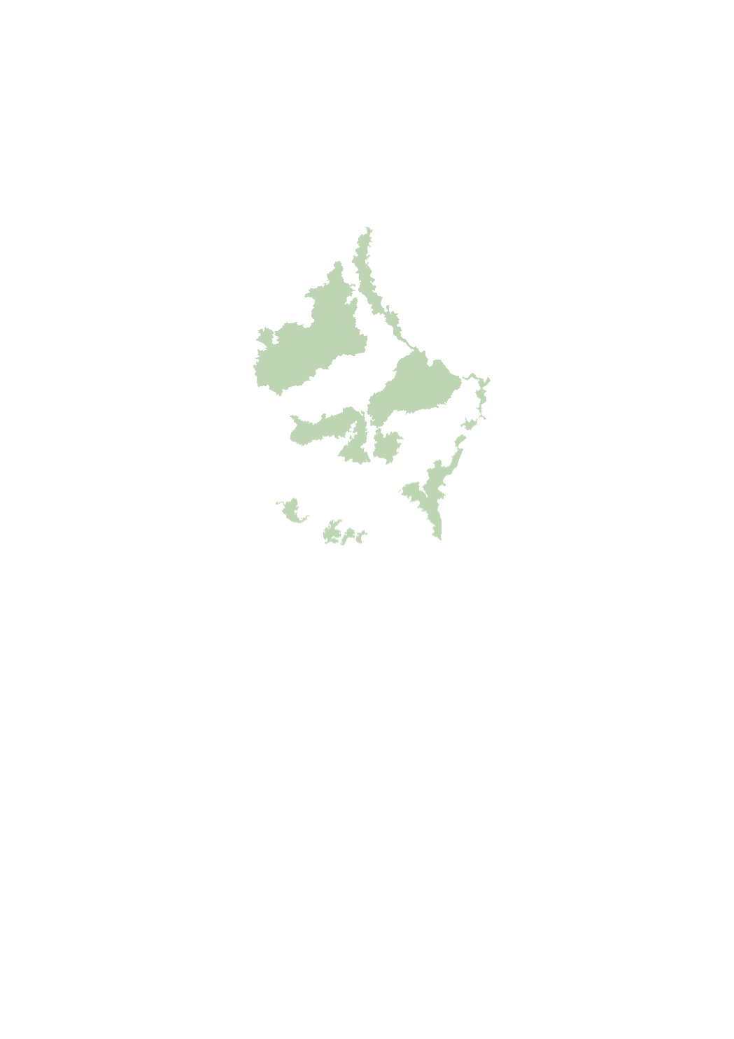
Le plan directeur sectoriel « paysages » a pour objectif de dresser un cadre à l’aménagement du territoire et à la planification en matière de gestion, d’aménagement et de la protection des paysages. A cette fin, il définit les zones de préservation des grands ensembles paysagers, les zones vertes interurbaines et les coupures vertes. http://amenagement-territoire.public.lu/fr/plans-caractere-reglementaire/plans-sectoriels/paysage.html
De sektorielle Plang „Landschaften“ huet d’Zil, ee Kader fir d’Landes- a Raumplanung am Kontext vun der Gestioun, der Planung an dem Schutz vun de Landschaften ze schafen. Zu dësem Zweck definéiert en eng Schutzzone fir déi grouss Landschaftsräim, déi interurban Gréngzone, d’Gréngzich / Gréngzäsuren an d’Schutzzone vum ökologesche Réseau. http://www.dat.public.lu/plans_caractere_reglementaire/plans_sectoriels/paysage/index.html
The sectoral plan ‘landscapes’ aims at creating a framework for spatial planning in the context of the management, planing and protection of the landscapes. For this purpose, it defines protection zones for the large landscape units, the interurban green zone, the green belts as well as the protection zone of the ecological network. http://www.dat.public.lu/plans_caractere_reglementaire/plans_sectoriels/paysage/index.html
Der sektorielle Plan „Landschaften“ hat zum Ziel, einen Rahmen für die Raumordnung und -planung zum Management, zur Planung und zum Schutz der Landschaften zu schaffen. Zu diesem Zweck bestimmt er die Schutzzone der großen Landschaftsräume, die zwischenstädtische Grünzone, die Grünzüge / Grünzäsuren sowie die Schutzzone des ökologischen Netzwerkes. http://www.dat.public.lu/plans_caractere_reglementaire/plans_sectoriels/paysage/index.html
Simple
-
Date (Création)Date (Creation)Datumsangaben (Erstellung)Date (Création)
- 2018-05-28T00:00:00
-
Date (Révision)Date (Revision)Datumsangaben (Überarbeitung)Date (Révision)
- 2021-02-10T00:00:00
-
IdentificateurCitation identifierIdentifikatorIdentificateur
- / 84763751-9311-4d45-8f30-06e8370aeffa
-
Forme de la présentationPresentation formPräsentationsformForme de la présentation
-
Carte numériqueDigital mapDigitale KarteCarte numérique
-
EtatStatusBearbeitungsstatusEtat
-
Mise à jour continueOn goingKontinuierliche AktualisierungMise à jour continue
- Point of contact
-
Organisation name Individual name Electronic mail address Role Ministère de l'Énergie et de l'Aménagement du territoire - Département de l'aménagement du territoire
Marco Tholl
Point de contactPoint of contactAnsprechpartnerPoint de contact
-
Fréquence de mise à jourMaintenance and update frequencyÜberarbeitungsintervallFréquence de mise à jour
-
Lorsque nécessaireAs neededBei BedarfLorsque nécessaire
-
Entités au Grand-Duché de Luxembourg
-
-
Grand-Duché du Luxembourg
Grand-Duché du Luxembourg
Grand-Duché du Luxembourg
Grand-Duché du Luxembourg
-
- Keywords
-
- Keywords
-
-
paysage
grouss Landschaftsräim
large landscape units
Große Landschaftsräume
-
plan sectoriel
interurban Gréngzone
interurban green zone
zwischenstädtische Grünzone
-
zone verte interurbaine
Gréngzich / Gréngzäsuren
green belts
Grünzüge / Grünzäsuren
-
grands ensemble paysagers
ökologesche Réseau
ecological network
ökologisches Netzwerk
-
coupure verte
-
geoportail.lu
geoportail.lu
geoportail.lu
geoportail.lu
-
-
geoportail.lu themes
-
-
Aménagement
Landesplanung
Urban planning
Raumplanung
-
-
geoportail.lu structure
-
-
Aménagement>Plans directeurs sectoriels (PDS)>PDS Paysages
Aménagement>Plans directeurs sectoriels (PDS)>PDS Paysages>PDS Landschaften
Urban planning>Sectoral master plans (SMP) - Projects>SMP landscapes
Raumplanung>Sektorale Leitpläne (SLP) - Projekte>SLP Landschaften
-
-
Contraintes d'utilisationUse constraintsNutzungseinschränkungenContraintes d'utilisation
-
Autres restrictionsOther restrictionsBenutzerdefinierte EinschränkungenAutres restrictions
-
Autres contraintes
-
Creative Commons 1.0 Universal (CC0 1.0) Public Domain Dedication
-
Type de représentation spatialeSpatial representation typeRäumliche DarstellungsartType de représentation spatiale
-
VecteurVectorVektorVecteur
-
Dénominateur de l'échelleDenominatorMaßstabszahlDénominateur de l'échelle
- 0
-
Langue de la ressourceLanguageSpracheLangue de la ressource
- Français
-
Encodage des caractèresCharacter setZeichensatzEncodage des caractères
-
Utf8UTF8Utf8Utf8
-
Catégorie ISOTopic categoryISO-ThematikCatégorie ISO
-
-
EnvironnementEnvironmentUmweltEnvironnement
-
))
-
Nom du système de référenceReference system identifierIdentifikator des ReferenzsystemsNom du système de référence
-
EPSG
/
http://www.opengis.net/def/crs/EPSG/0/2169
- OnLine resource
-
Protocol Linkage Name OGC:WMS-1.3.0-http-get-map
https://wms.geoportail.lu/public_map_layers/service 395
395
395
395
WWW:LINK-1.0-http--link
https://data.public.lu/fr/datasets/projet-de-plan-directeur-sectoriel-paysages-psp/ OGC API-Features
https://features.geoportail.lu/collections/395/0 OGC API - Features
- OnLine resource
-
Protocol Linkage Name https://map.geoportail.lu/theme/main?version=3&zoom=8&X=667917&Y=6394482&lang=fr&layers=396&opacities=1 Coupures vertes
Gréngzich / Gréngzäsuren
Green belts
Grünzüge / Grünzäsuren
- OnLine resource
-
Protocol Linkage Name https://map.geoportail.lu/theme/main?version=3&zoom=8&X=667917&Y=6394482&lang=fr&layers=395&opacities=1 Grands Ensembles Paysagers
Grouss Landschaftsraim
Large landscape units
Große Landschafträume
Metadata
-
Identifiant de la ficheFile identifierMetadatensatzidentifikatorIdentifiant de la fiche
- 84763751-9311-4d45-8f30-06e8370aeffa XML
-
LangueMetadata languageSpracheLangue
- Français
-
Jeu de caractèresCharacter setZeichensatzJeu de caractères
-
Utf8UTF8Utf8Utf8
-
Type de ressourceHierarchy levelHierarchieebeneType de ressource
-
Jeu de donnéesDatasetDatenbestandJeu de données
- Hierarchy level name
-
dataset
-
Date des métadonnéesDate stampDatumDate des métadonnées
- 2021-03-16T07:16:28Z
- Metadata standard name
-
ISO 19115:2003/19139
- Metadata standard version
-
1.0
- Metadata author
-
Organisation name Individual name Electronic mail address Role Ministère de l'Énergie et de l'Aménagement du territoire - Département de l'aménagement du territoire
Marco Tholl
Point de contactPoint of contactAnsprechpartnerPoint de contact
- Other language
-
Language Character encoding LëtzebuergeschLuxembourgish; LetzeburgeschLuxemburgischLuxembourgeoisUtf8UTF8Utf8Utf8EngleschEnglishEnglischAnglaisUtf8UTF8Utf8Utf8DäitschGermanDeutschAllemandUtf8UTF8Utf8Utf8FranséischFrenchFranzösischFrançaisUtf8UTF8Utf8Utf8
)))