 geocatalogue.geoportail.lu
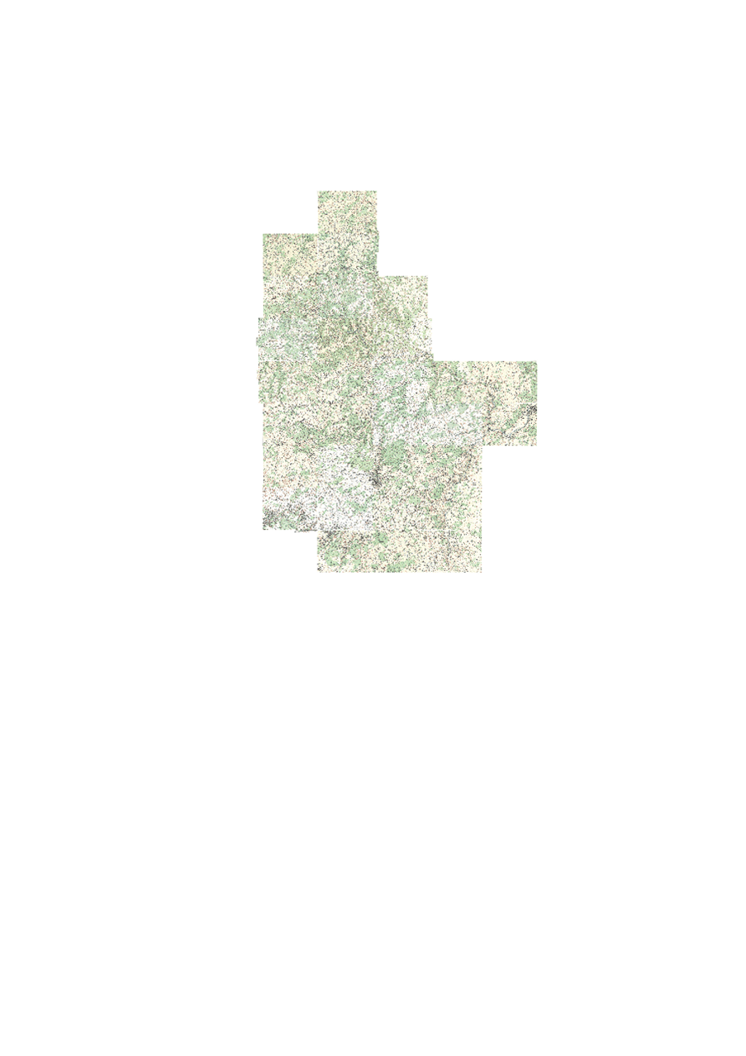
Topographical Map 1954
Historic topographic map edited in 1954.
Simple
- Citation identifier
- / 7a8bc9a4-e7c7-4584-bc4f-03deaf7b69b2
- Presentation form
- Digital map
- Status
- On going
- Point of contact
-
Organisation name Individual name Electronic mail address Role Administration du Cadastre et de la Topographie
Service du géoportail et de l'ILDG (ACT)
Resource provider Administration du Cadastre et de la Topographie
Service du géoportail et de l'ILDG (ACT)
Point of contact Administration du Cadastre et de la Topographie
Administration du Cadastre et de la Topographie
Distributor Administration du Cadastre et de la Topographie
Administration du Cadastre et de la Topographie
Resource provider
- Maintenance and update frequency
- As needed
-
Entités au Grand-Duché de Luxembourg
-
-
Grand-Duché du Luxembourg
-
- Keywords
-
-
map, topography, historic, HANSEN
-
- Keywords
-
-
geoportail.lu
-
-
geoportail.lu themes
-
-
Tourism
-
Main
-
-
geoportail.lu structure
-
-
Tourism>Topographical maps>Historical topographical Maps
-
Main>Geographical location>Topographical maps>Historical topographical Maps
-
- Access constraints
- Other restrictions
- Other constraints
-
This webservice can only be accessed on Luxembourg's State intranet network.
- Spatial representation type
- Vector
- Denominator
- 25000
- Language
- Deutsch
- Language
- Français
- Language
- English
- Character set
- UTF8
- Topic category
-
- Geoscientific information
))
- Reference system identifier
- EPSG / http://www.opengis.net/def/crs/EPSG/0/2169
- Distribution format
-
Name Version OTHER
JPEG
PNG
- OnLine resource
-
Protocol Linkage Name OGC:WMS-1.3.0-http-get-map
https://wms.geoportail.lu/public_map_layers/service 274
https://map.geoportail.lu/theme/main?version=3&zoom=8&X=667917&Y=6394482&lang=fr&layers=274&opacities=1 Topographical Map 1954
Metadata
- File identifier
- 7a8bc9a4-e7c7-4584-bc4f-03deaf7b69b2 XML
- Metadata language
- Français
- Character set
- UTF8
- Hierarchy level
- Dataset
- Hierarchy level name
-
dataset
- Date stamp
- 2021-02-04T23:22:38
- Metadata standard name
-
ISO 19115:2003/19139
- Metadata standard version
-
1.0
- Metadata author
-
Organisation name Individual name Electronic mail address Role Administration du Cadastre et de la Topographie
Service du géoportail et de l'ILDG (ACT)
Point of contact
- Other language
-
Language Character encoding French UTF8 Luxembourgish; Letzeburgesch UTF8 English UTF8 German UTF8
)))