 geocatalogue.geoportail.lu
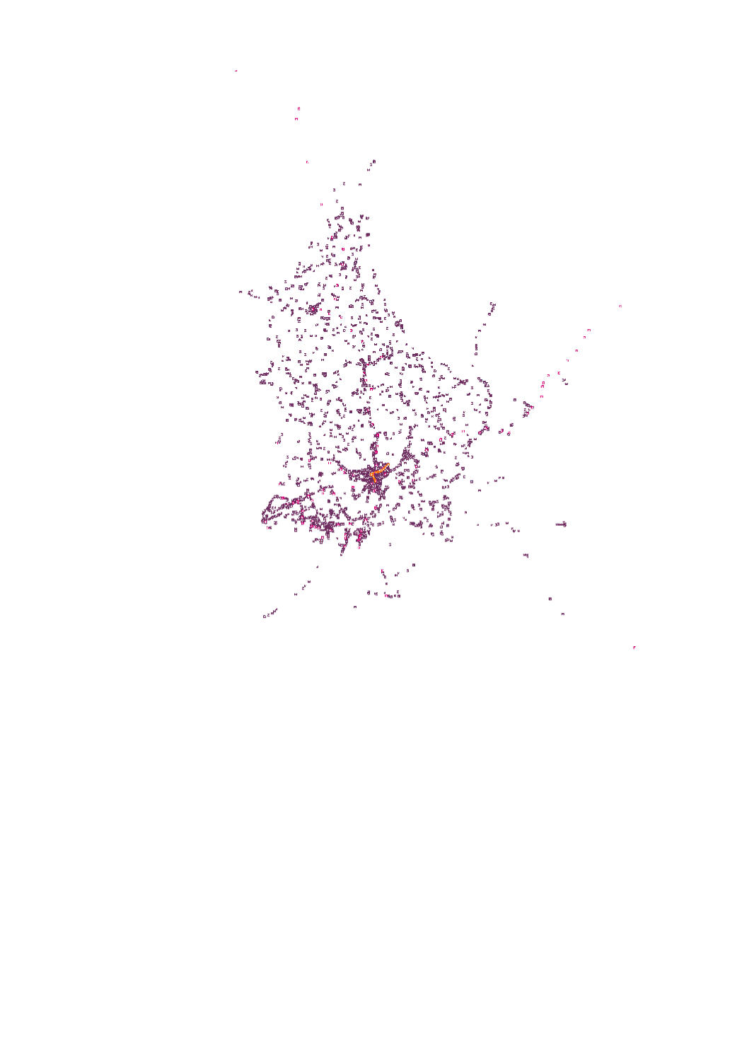
Public transport
Public transport stops (train and bus) in Luxembourg and the surroundings Real-time Information (if available) of the coming departures and arrival and also the possibilty to choose the selected stop as starting point or destination on <a href="www.mobiliteit.lu" target="_blank">Mobiliteit.lu</a>.
Simple
- Date (Creation)
- 2013-11-01T00:00:00
- Citation identifier
- / 7318c6e8-bb63-40e0-9e40-46ae7b0dc266
- Presentation form
- Digital map
- Status
- On going
- Point of contact
-
Organisation name Individual name Electronic mail address Role Verkéiersverbond
Service MNT
Point of contact
- Maintenance and update frequency
- As needed
-
Entités au Grand-Duché de Luxembourg
-
-
Grand-Duché du Luxembourg
-
- Keywords
-
- Keywords
-
-
public transport
-
bus
-
train
-
nightbus
-
multimodal
-
multimodal
-
geoportail.lu
-
-
geoportail.lu themes
-
-
Tourism
-
Lenoz
-
Main
-
PAG
-
-
geoportail.lu structure
-
-
Tourism>Transport networks
-
Lenoz>Lenoz
-
Main>Infrastructure and communication>Transport networks
-
PAG>National planning data>Transport networks
-
- Use constraints
- Other restrictions
- Other constraints
-
Creative Commons 1.0 Universal (CC0 1.0) Public Domain Dedication
- Spatial representation type
- Vector
- Denominator
- 0
- Language
- Français
- Character set
- UTF8
- Topic category
-
- Transportation
))
- Reference system identifier
- EPSG / http://www.opengis.net/def/crs/EPSG/0/2169
- OnLine resource
-
Protocol Linkage Name OGC:WMS-1.3.0-http-get-map
https://wms.geoportail.lu/public_map_layers/service 147
WWW:LINK-1.0-http--link
https://data.public.lu/fr/datasets/horaires-et-arrets-des-transport-publics/ OGC API-Features
https://features.geoportail.lu/collections/147 OGC API - Features
- OnLine resource
-
Protocol Linkage Name https://map.geoportail.lu/theme/main?version=3&zoom=8&X=667917&Y=6394482&lang=fr&layers=147&opacities=1 Public Transport - Stops
Metadata
- File identifier
- 7318c6e8-bb63-40e0-9e40-46ae7b0dc266 XML
- Metadata language
- Français
- Character set
- UTF8
- Hierarchy level
- Dataset
- Hierarchy level name
-
dataset
- Date stamp
- 2025-09-08T08:16:00Z
- Metadata standard name
-
ISO 19115:2003/19139
- Metadata standard version
-
1.0
- Metadata author
-
Organisation name Individual name Electronic mail address Role Administration des transports publics
Yves Dax
- Other language
-
Language Character encoding Luxembourgish; Letzeburgesch UTF8 English UTF8 German UTF8 French UTF8
)))