 geocatalogue.geoportail.lu
Imperméabilisation du sol par utilisateur (habitants + salariés)
Versigelung pro Notzer (Awunner + Salariéen)
Soil sealing per user (population + employment)
Bodenversieglung pro Nutzer (Einwohner + Arbeitskräfte)
Imperméabilisation du sol par utilisateur (habitants + salariés) en m²
Buedemversigelung pro Notzer (Awunner + Salariéen) a m²
Soil sealing per user (population + employment) in m²
Bodenversieglung pro Nutzer (Einwohner + Arbeitskräfte) in m²
Simple
-
IdentificateurCitation identifierIdentifikatorIdentificateur
- / 6bd9208a-01a0-42fc-b7dc-55c26ea95e02
-
Forme de la présentationPresentation formPräsentationsformForme de la présentation
-
Carte numériqueDigital mapDigitale KarteCarte numérique
-
EtatStatusBearbeitungsstatusEtat
-
Mise à jour continueOn goingKontinuierliche AktualisierungMise à jour continue
-
Fréquence de mise à jourMaintenance and update frequencyÜberarbeitungsintervallFréquence de mise à jour
-
Lorsque nécessaireAs neededBei BedarfLorsque nécessaire
-
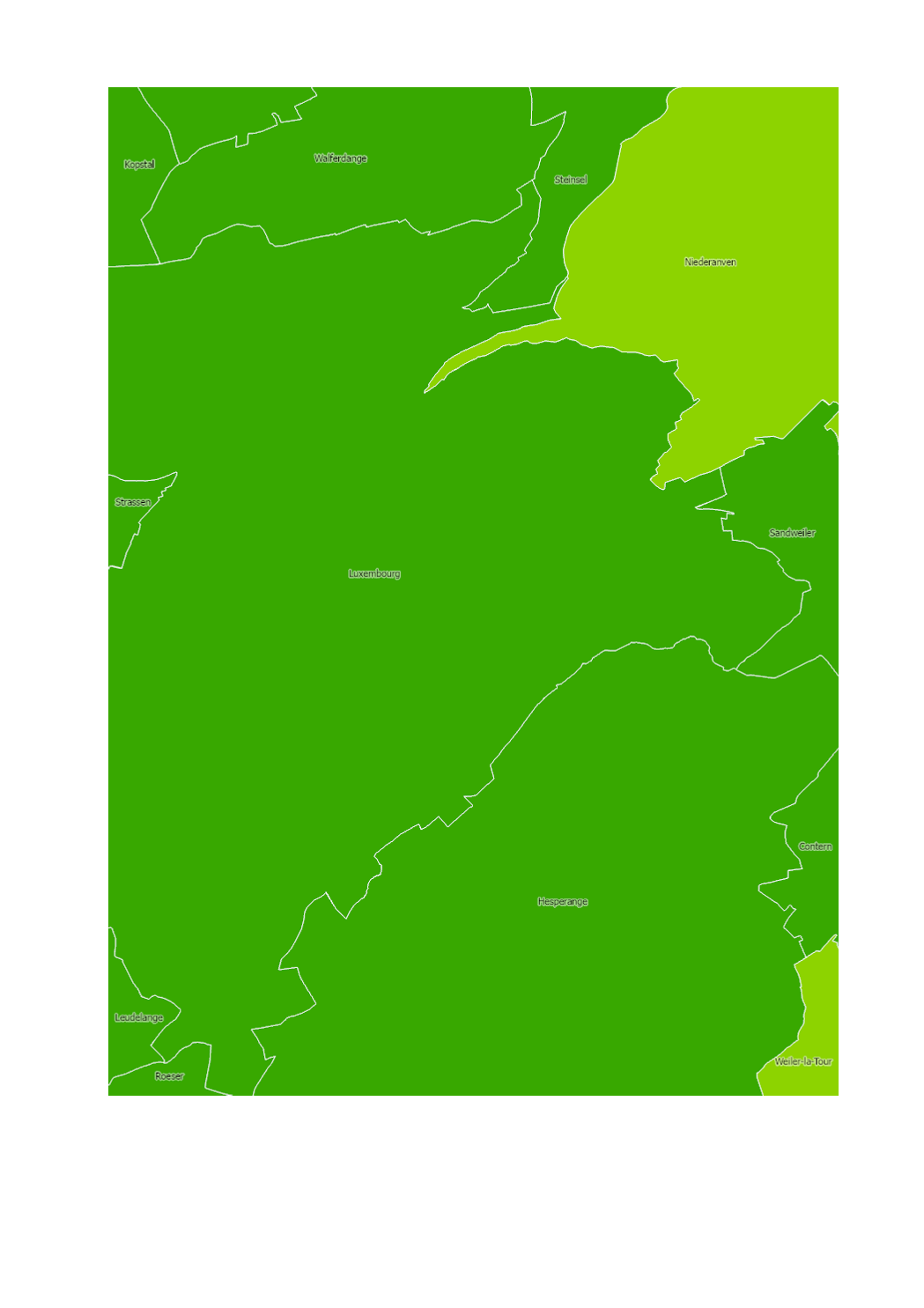
Entités au Grand-Duché de Luxembourg
-
-
Grand-Duché du Luxembourg
Grand-Duché du Luxembourg
Grand-Duché du Luxembourg
Grand-Duché du Luxembourg
-
- Keywords
-
-
Imperméabilisation
Versigelungsgrad, Buedemversigelung
Imperviousness
Versieglungsgrad, Bodenversieglung
-
- Keywords
-
-
geoportail.lu
geoportail.lu
geoportail.lu
geoportail.lu
-
-
geoportail.lu themes
-
-
Environnement
Emwelt
Environment
Umwelt
-
Grand Public
Allgemeng
Main
Allgemein
-
-
geoportail.lu structure
-
-
Environnement>Utilisation et couverture du sol>Taux d'imperméabilisation du sol
Environnement>Landnotzung a Landbedeckung>Versigelungsgrad
Environment>Land Use and Land Cover>Imperviousness degree
Umwelt>Landnutzung und Landbedeckung>Versieglungsgrad
-
Grand Public>Couverture du sol>Utilisation et couverture du sol>Taux d'imperméabilisation du sol
Grand Public>Couverture du sol>Landnotzung a Landbedeckung>Versigelungsgrad
Main>Land surface>Land Use and Land Cover>Imperviousness degree
Allgemein>Oberflächendarstellung>Landnutzung und Landbedeckung>Versieglungsgrad
-
-
Contraintes d'accèsAccess constraintsZugriffseinschränkungenContraintes d'accès
-
Autres restrictionsOther restrictionsBenutzerdefinierte EinschränkungenAutres restrictions
-
Type de représentation spatialeSpatial representation typeRäumliche DarstellungsartType de représentation spatiale
-
VecteurVectorVektorVecteur
-
Dénominateur de l'échelleDenominatorMaßstabszahlDénominateur de l'échelle
- 0
-
Encodage des caractèresCharacter setZeichensatzEncodage des caractères
-
Utf8UTF8Utf8Utf8
))
-
Nom du système de référenceReference system identifierIdentifikator des ReferenzsystemsNom du système de référence
- EPSG / http://www.opengis.net/def/crs/EPSG/0/2169
- OnLine resource
-
Protocol Linkage Name OGC:WMS-1.3.0-http-get-map
https://wms.geoportail.lu/public_map_layers/service 2282
2282
2282
2282
UKST
https://map.geoportail.lu/theme/emwelt?version=3&zoom=10&X=697083&Y=6413261&lang=lb&rotation=0&layers=2282&opacities=1&bgLayer=basemap_2015_global&crosshair=false WWW:LINK-1.0-http--link
https://data.public.lu/fr/datasets/lis-l-land-cover-2018/
Metadata
-
Identifiant de la ficheFile identifierMetadatensatzidentifikatorIdentifiant de la fiche
- 6bd9208a-01a0-42fc-b7dc-55c26ea95e02 XML
-
LangueMetadata languageSpracheLangue
- Français
-
Jeu de caractèresCharacter setZeichensatzJeu de caractères
-
Utf8UTF8Utf8Utf8
-
Type de ressourceHierarchy levelHierarchieebeneType de ressource
-
Jeu de donnéesDatasetDatenbestandJeu de données
- Hierarchy level name
-
dataset
-
Date des métadonnéesDate stampDatumDate des métadonnées
- 2022-09-14T13:22:55
- Metadata standard name
-
ISO 19115:2003/19139
- Metadata standard version
-
1.0
- Metadata author
-
Organisation name Individual name Electronic mail address Role Département de l'aménagement du territoire
Ministère de l’Environnement, du Climat et du Développement durable & Ministère de l’Énergie et de l’Aménagement du territoire
Patrick.Grivet@mev.etat.lu; Tom.Fourmann@mat.etat.lu; Marco.Tholl@mat.etat.lu
Point de contactPoint of contactAnsprechpartnerPoint de contact
- Other language
-
Language Character encoding LëtzebuergeschLuxembourgish; LetzeburgeschLuxemburgischLuxembourgeoisUtf8UTF8Utf8Utf8EngleschEnglishEnglischAnglaisUtf8UTF8Utf8Utf8DäitschGermanDeutschAllemandUtf8UTF8Utf8Utf8FranséischFrenchFranzösischFrançaisUtf8UTF8Utf8Utf8
)))