 geocatalogue.geoportail.lu
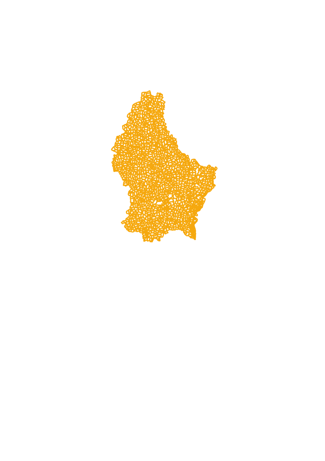
Historical cadastral sheets
This layer contains the contours of the map sheets of the original cadastral map for the actual territory of the Grand-Duchy of Luxembourg, as it has been created and updated between 1811 and 1832. Every polygon contains a link to the scanned document, that can be opened and downloaded in form of PNG files. It is one the set, which has been kept in the archives of the administration du cadastre et de la topographie. At the time of their original use, all the modifications that occured to the parcels were recorded on the map sheets themselves by erasing and drawing. This, as well as their regular use, may explain the imperfect state of some particular map sheets. A 2nd set of map sheets is kept in the national archives.
Simple
- Date (Creation)
- 1824-01-01T00:00:00
- Date (Revision)
- 1849-01-01T00:00:00
- Citation identifier
- / 51333029-c8cf-490f-b4a6-80ba239f0cb4
- Presentation form
- Digital map
- Status
- On going
- Point of contact
-
Organisation name Individual name Electronic mail address Role Administration du Cadastre et de la Topographie
Administration du Cadastre et de la Topographie
Distributor Administration du Cadastre et de la Topographie
Administration du Cadastre et de la Topographie
Custodian Administration du Cadastre et de la Topographie
Administration du Cadastre et de la Topographie
User Administration du Cadastre et de la Topographie
Administration du Cadastre et de la Topographie
Point of contact
- Maintenance and update frequency
- As needed
-
Entités au Grand-Duché de Luxembourg
-
-
Grand-Duché du Luxembourg
-
- Keywords
-
-
Origin, plan, map, cadastre, original, map sheet
-
- Keywords
-
-
geoportail.lu
-
-
geoportail.lu themes
-
-
Urban Farming
-
Main
-
-
geoportail.lu structure
-
-
Urban Farming>Cadastral data
-
Main>Geographical location>Cadastral data
-
- Access constraints
- Other restrictions
- Other constraints
-
Attribution 4.0 International (CC BY 4.0)
- Spatial representation type
- Vector
- Denominator
- 2500
- Language
- Lëtzebuergesch
- Language
- Français
- Language
- Deutsch
- Language
- English
- Character set
- UTF8
- Topic category
-
- Planning cadastre
- Boundaries
))
- Reference system identifier
- EPSG / http://www.opengis.net/def/crs/EPSG/0/2169
- OnLine resource
-
Protocol Linkage Name OGC:WMS-1.3.0-http-get-map
https://wms.geoportail.lu/public_map_layers/service 256
WWW:LINK-1.0-http--link
https://data.public.lu/fr/datasets/feuilles-cadastrales-historiques/ Historical cadastral sheets
- OnLine resource
-
Protocol Linkage Name https://map.geoportail.lu/theme/main?version=3&zoom=8&X=667917&Y=6394482&lang=fr&layers=256&opacities=1 Historical cadastral sheets
- Statement
-
Planches scannées non référencées
Metadata
- File identifier
- 51333029-c8cf-490f-b4a6-80ba239f0cb4 XML
- Metadata language
- Français
- Character set
- UTF8
- Hierarchy level
- Dataset
- Hierarchy level name
-
dataset
- Date stamp
- 2022-08-11T12:09:32
- Metadata standard name
-
ISO 19115:2003/19139
- Metadata standard version
-
1.0
- Metadata author
-
Organisation name Individual name Electronic mail address Role Administration du Cadastre et de la Topographie
Service du géoportail et de l'ILDG (ACT)
Point of contact
- Other language
-
Language Character encoding Luxembourgish; Letzeburgesch UTF8 English UTF8 German UTF8 French UTF8
)))