 geocatalogue.geoportail.lu
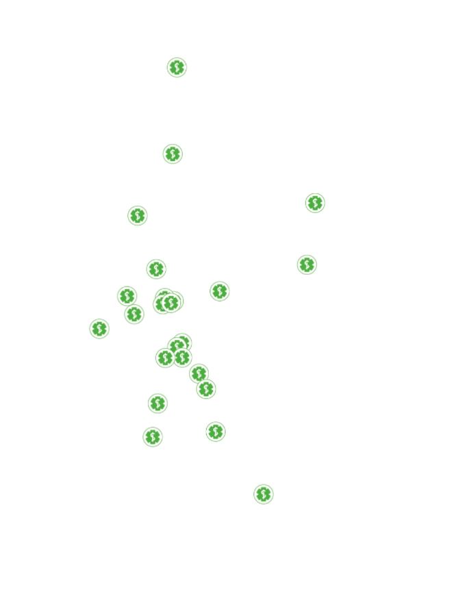
Pharmacies
This layer contains the pharmacies of the Grand Duchy of Luxembourg
Simple
- Date (Creation)
- 2021-07-09T00:00:00
- Citation identifier
- / 8a11d9b4-2274-4505-8b03-ff9f075d7470
- Presentation form
- Digital map
- Status
- On going
- Point of contact
-
Organisation name Individual name Electronic mail address Role Administration du Cadastre et de la Topographie
Administration du Cadastre et de la Topographie
Author
- Maintenance and update frequency
- As needed
-
Entités au Grand-Duché de Luxembourg
-
-
Grand-Duché du Luxembourg
-
- Theme
-
-
Pharmacy, pharmacies, health
-
Main
-
-
Geoportail.lu themes
-
-
Main
-
-
Geoportail.lu structure
-
-
Main>Infrastructure and communication>Helathcare
-
- Keywords
-
-
geoportail.lu
-
intranet
-
- Access constraints
- Other restrictions
- Spatial representation type
- Vector
- Denominator
- 500
- Character set
- UTF8
N
S
E
W
))
- Reference system identifier
- EPSG / http://www.opengis.net/def/crs/EPSG/0/2169
- Distribution format
-
Name Version ShapefileTODO
- OnLine resource
-
Protocol Linkage Name OGC:WMS-1.3.0-http-get-map
https://wms.geoportail.lu/public_map_layers/service 2004
UKST
https://map.geoportail.lu/theme/main?version=3&zoom=10&X=684756&Y=6392394&lang=fr&rotation=0&layers=2004&opacities=1&bgLayer=basemap_2015_global&crosshair=false pharmacies
- Hierarchy level
- Dataset
Metadata
- File identifier
- 4fed0407-cb2b-4c75-982a-e96f926d6b0d XML
- Metadata language
- Français
- Character set
- UTF8
- Hierarchy level
- Dataset
- Hierarchy level name
-
dataset
- Date stamp
- 2026-03-27T09:34:30.470785Z
- Metadata standard name
-
ISO 19115:2003/19139
- Metadata standard version
-
1.0
- Metadata author
-
Organisation name Individual name Electronic mail address Role Ministère de la Santé
Linda Scholtes / Département Professionnels de la santé
Point of contact
- Other language
-
Language Character encoding Luxembourgish; Letzeburgesch UTF8 English UTF8 German UTF8 French UTF8
)))