 geocatalogue.geoportail.lu
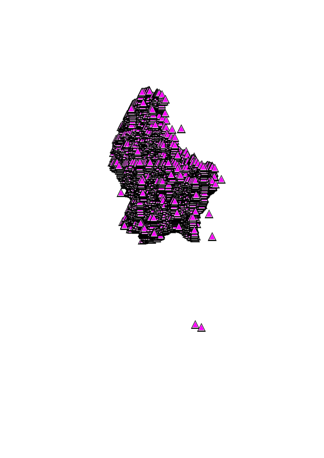
Geodetic network points : NTL system
Din A4 paper form which contains precise indications to find geodetic network points in the field.
Simple
- Date (Revision)
- 2009-10-10T00:00:00
- Citation identifier
- / 426
- Presentation form
- Digital map
- Status
- On going
- Point of contact
-
Organisation name Individual name Electronic mail address Role Administration du Cadastre et de la Topographie
Administration du Cadastre et de la Topographie
Distributor Administration du Cadastre et de la Topographie
Administration du Cadastre et de la Topographie
Resource provider
- Maintenance and update frequency
- As needed
-
Entités au Grand-Duché de Luxembourg
-
-
Grand-Duché du Luxembourg
-
- Keywords
-
-
geoportail.lu
-
-
geoportail.lu themes
-
-
Gemeng
-
-
geoportail.lu structure
-
-
Gemeng>Commande
-
- Access constraints
- Other restrictions
- Other constraints
- null null null
- Spatial representation type
- Vector
- Denominator
- 0
- Language
- Lëtzebuergesch
- Language
- Deutsch
- Language
- Français
- Language
- English
- Character set
- UTF8
- Topic category
-
- Geoscientific information
N
S
E
W
))
- Reference system identifier
- EPSG / http://www.opengis.net/def/crs/EPSG/0/2169
- Distribution format
-
Name Version PAPIER
- OnLine resource
-
Protocol Linkage Name https://map.geoportail.lu/theme/main?version=3&zoom=8&X=667917&Y=6394482&lang=fr&layers=376&opacities=1 Geodetic network points : NTL system
Metadata
- File identifier
- 426 XML
- Metadata language
- Français
- Character set
- UTF8
- Hierarchy level
- Dataset
- Hierarchy level name
-
dataset
- Date stamp
- 2021-02-04T23:52:19
- Metadata standard name
-
ISO 19115:2003/19139
- Metadata standard version
-
1.0
- Metadata author
-
Organisation name Individual name Electronic mail address Role Administration du Cadastre et de la Topographie
Service du géoportail et de l'ILDG (ACT)
Point of contact
- Other language
-
Language Character encoding French UTF8 Luxembourgish; Letzeburgesch UTF8 English UTF8 German UTF8
)))