 geocatalogue.geoportail.lu
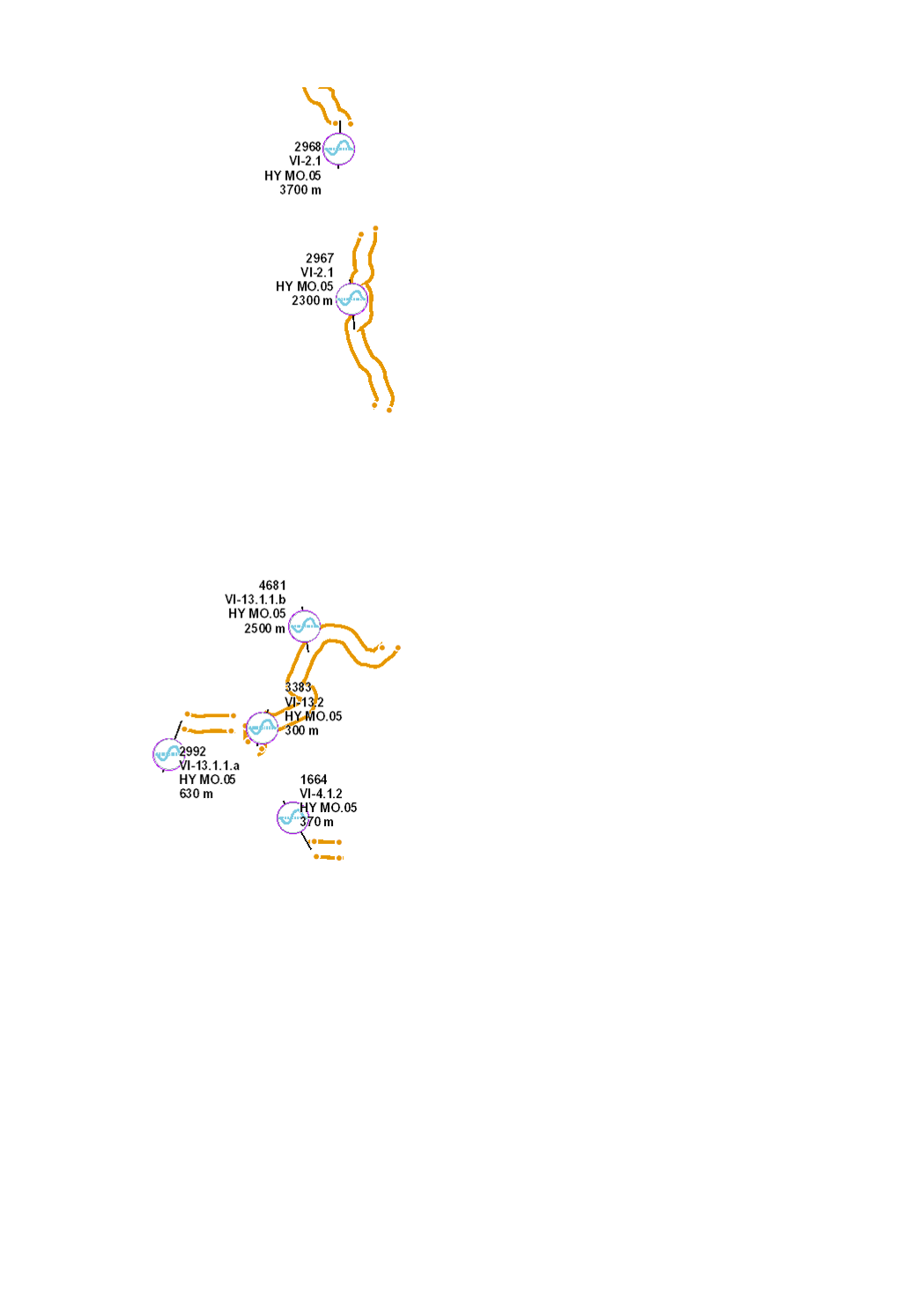
Re-meandering and restoration of riverbed
Typical river restoration technique. Re-meandering and restoration of the riverbed in order to recreate a new meandering course compliant with the river typology, with a riverbed and riverbanks rich in structures.
Simple
- Citation identifier
- / 3ddf627c-90ae-4b58-a05e-20925493dcf9
- Presentation form
- Digital map
- Status
- Completed
- Point of contact
-
Organisation name Individual name Electronic mail address Role Administration de la gestion de l'eau
Division de l'hydrologie
Custodian
-
Entités au Grand-Duché de Luxembourg
-
-
Grand-Duché du Luxembourg
-
- Keywords
-
-
Water Framework Directive, WFD, hydromorphological measures, management plan, programme of measures 2021, HY MO, morphology, hydromorphologs, structure, river, riverbed, riverbank, restoration
-
- Keywords
-
-
geoportail.lu
-
-
geoportail.lu themes
-
-
Water
-
Main
-
-
geoportail.lu structure
-
-
Water>Water framework directive [WFD]>River Basin Management Plan 2021
-
Main>Environment, Biology and Geology>Water framework directive [WFD]>River Basin Management Plan 2021
-
- Access constraints
- Other restrictions
- Spatial representation type
- Vector
- Denominator
- 0
- Character set
- UTF8
))
- Maintenance and update frequency
- once
- Reference system identifier
- EPSG / http://www.opengis.net/def/crs/EPSG/0/2169
- OnLine resource
-
Protocol Linkage Name WWW:LINK-1.0-http--link
https://data.public.lu/fr/datasets/remeandrage-et-restauration-du-lit-du-cours-deau/ OGC API-Features
https://features.geoportail.lu/collections/2098 OGC API - Features
- OnLine resource
-
Protocol Linkage Name OGC:WMS-1.3.0-http-get-map
https://wms.geoportail.lu/public_map_layers/service 2098
https://map.geoportail.lu/theme/main?version=3&zoom=8&X=667917&Y=6394482&lang=fr&layers=2098&opacities=1 HY MO.05 2021 Re-meandering and restoration of riverbed
Metadata
- File identifier
- 3ddf627c-90ae-4b58-a05e-20925493dcf9 XML
- Metadata language
- Français
- Character set
- UTF8
- Hierarchy level
- Dataset
- Hierarchy level name
-
dataset
- Date stamp
- 2022-12-20T14:41:31Z
- Metadata standard name
-
ISO 19115:2003/19139
- Metadata standard version
-
1.0
- Metadata author
-
Organisation name Individual name Electronic mail address Role Administration de la gestion de l'eau
Administration de la gestion de l'eau
Point of contact
- Other language
-
Language Character encoding Luxembourgish; Letzeburgesch UTF8 English UTF8 German UTF8 French UTF8
)))