 geocatalogue.geoportail.lu
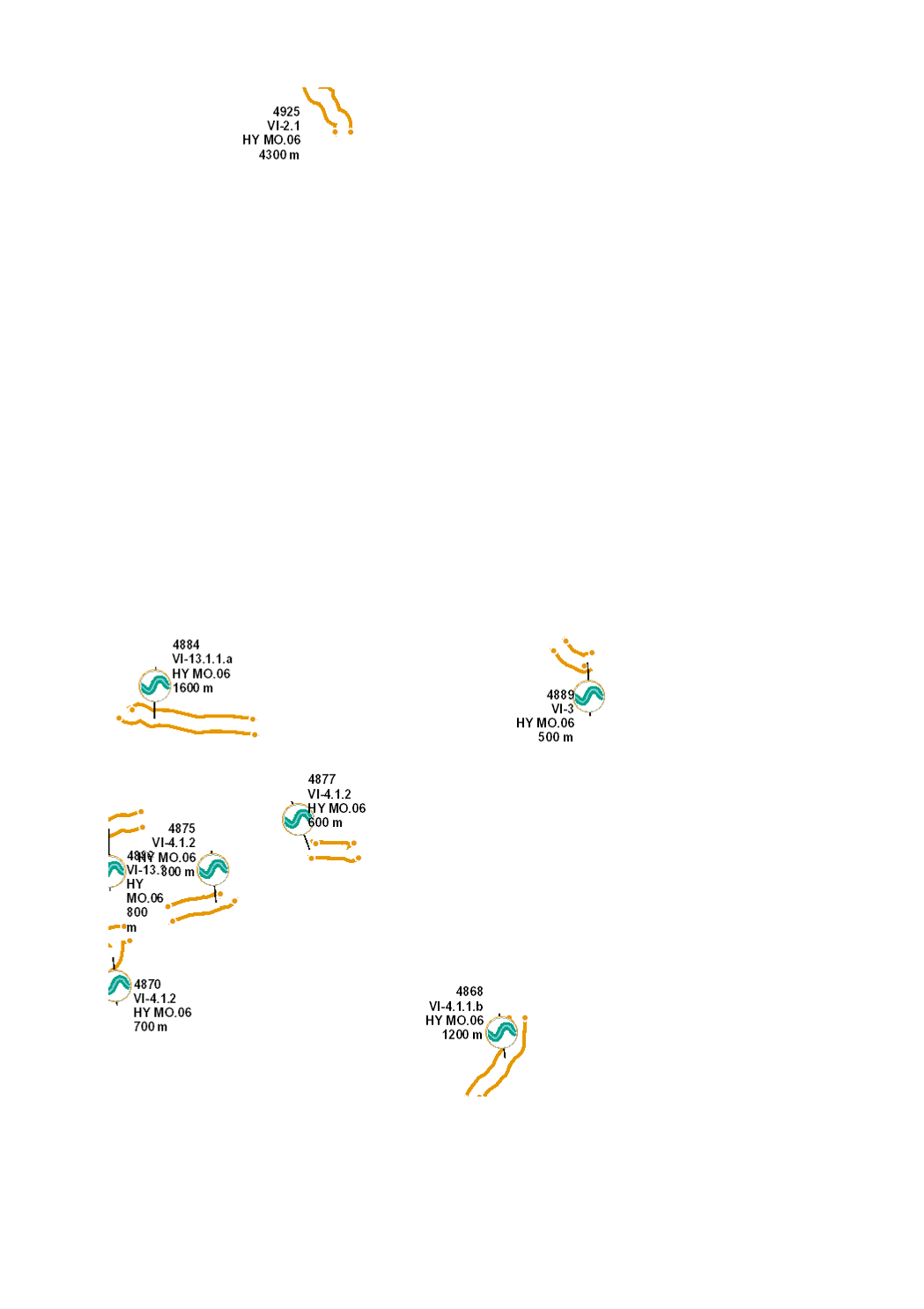
Mise en place de bandes rivulaires
Uleeën vun engem Gewässerrandsträifen
Establishment of riparian buffer strips
Anlage eines Gewässerrandstreifens
Protection du cours d’eau contre les impacts liés aux utilisations voisines du sol (effluents agricoles tels que nutriments et pesticides, sédiments fins, piétinement par le bétail, érosion, etc.) par l’instauration de bandes rivulaires clôturées et libres de toute utilisation, sur lesquelles va se développer une ripisylve offrant des zones ombragées au cours d’eau.
D’Waasserleef schützen virun den negativen Aflëss vun der ugrenzender Notzung (Närstoffer, Pestiziden, Feinsedimenter, Véitrëtt, Erosioun etc.). Uleeën vun engem ofgezénkten, notzungsfräien Gewässerrandsträifen, mat Gehëlz dat Struktur bilt a Schied spent.
River protection against the impact of adjacent land use (agricultural runoff such as nutrients and pesticides, fine sediments, cattle trampling, erosion, etc.) through the establishment of fenced riparian buffer stripes, free from any use, where a typical riparian vegetation will grow and provide shade for the river.
Schutz des Gewässers vor den negativen Einflüssen angrenzender Nutzungen (Nährstoffe, Pestizide, Feinsedimente, Viehtritt, Erosion etc.). Anlage eines abgezäunten, nutzungsfreiem Gewässerrandstreifen mit schattenspendenden und strukturgebenden Gehölzen.
Simple
-
IdentificateurCitation identifierIdentifikatorIdentificateur
- / 3bc0e52d-954b-47d3-8905-1ecfe7108ce0
-
Forme de la présentationPresentation formPräsentationsformForme de la présentation
-
Carte numériqueDigital mapDigitale KarteCarte numérique
-
EtatStatusBearbeitungsstatusEtat
-
FinaliséCompletedAbgeschlossenFinalisé
- Point of contact
-
Organisation name Individual name Electronic mail address Role Administration de la gestion de l'eau
Division de l'hydrologie
GestionnaireCustodianVerwalterGestionnaire
-
Entités au Grand-Duché de Luxembourg
-
-
Grand-Duché du Luxembourg
Grand-Duché du Luxembourg
Grand-Duché du Luxembourg
Grand-Duché du Luxembourg
-
- Keywords
-
-
Directive-cadre sur l'eau, DCE, mesures hydromorphologiques, Plan de gestion, Programme de mesure 2021, HY MO, morphologie, hydromorphologie, structure, cours d'eau, lit, berge, bande rivulaire
Waasserrahmerichtlinn, WRRL, hydromorphologesch Moossnamen, Bewirtschaftungsplang 2021, Moossnameprogramm 2021, HY MO, Morphologie, Hydromorphologie, Struktur, Waasserlaaf, Suel, Ufer, Gewässerrandsträifen, Randsträifen
Water Framework Directive, WFD, hydromorphological measures, management plan, programme of measures 2021, HY MO, morphology, hydromorphologs, structure, river, riverbed, riverbank, buffer stripe
Wasserrahmenrichtlinie (Richtlinie 2000/60/EG), Hochwasserrisikomanagement-Richtlinie (Richtlinie 2007/60/CE), Maßnahmen, Hydromorphologie, Renaturierung, Durchgängigkeit, Mindestwasserabfluss
-
- Keywords
-
-
geoportail.lu
geoportail.lu
geoportail.lu
geoportail.lu
-
-
geoportail.lu themes
-
-
Eau
Wasser
Water
Wasser
-
Allgemein
Grand Public
Allgemeng
Main
-
-
geoportail.lu structure
-
-
Eau>Directive-cadre sur l'eau [DCE]>Plan de gestion 2021
Eau>Directive-cadre sur l'eau [DCE]>Plan de gestion 2021>Bewirtschaftungsplang 2021
Water>Water framework directive [WFD]>River Basin Management Plan 2021
Wasser>Wasserrahmenrichtlinie [WRRL]>Bewirtschaftungsplan 2021
-
Allgemein>Umwelt, Biologie und Geologie>Wasserrahmenrichtlinie [WRRL]>Bewirtschaftungsplan 2021
Grand Public>Environnement, biologie et géologie>Directive-cadre sur l'eau [DCE]>Plan de gestion 2021
Grand Public>Environnement, biologie et géologie>Directive-cadre sur l'eau [DCE]>Plan de gestion 2021>Bewirtschaftungsplang 2021
Main>Environment, Biology and Geology>Water framework directive [WFD]>River Basin Management Plan 2021
-
-
Contraintes d'accèsAccess constraintsZugriffseinschränkungenContraintes d'accès
-
Autres restrictionsOther restrictionsBenutzerdefinierte EinschränkungenAutres restrictions
-
Type de représentation spatialeSpatial representation typeRäumliche DarstellungsartType de représentation spatiale
-
VecteurVectorVektorVecteur
-
Dénominateur de l'échelleDenominatorMaßstabszahlDénominateur de l'échelle
- 0
-
Encodage des caractèresCharacter setZeichensatzEncodage des caractères
-
Utf8UTF8Utf8Utf8
))
-
Fréquence de mise à jourMaintenance and update frequencyÜberarbeitungsintervallFréquence de mise à jour
-
onceonceonceonce
-
Nom du système de référenceReference system identifierIdentifikator des ReferenzsystemsNom du système de référence
-
EPSG
/
http://www.opengis.net/def/crs/EPSG/0/2169
- OnLine resource
-
Protocol Linkage Name WWW:LINK-1.0-http--link
https://data.public.lu/fr/datasets/mise-en-place-de-bandes-rivulaires/ OGC API-Features
https://features.geoportail.lu/collections/2099 OGC API - Features
- OnLine resource
-
Protocol Linkage Name OGC:WMS-1.3.0-http-get-map
https://wms.geoportail.lu/public_map_layers/service 2099
2099
2099
2099
https://map.geoportail.lu/theme/main?version=3&zoom=8&X=667917&Y=6394482&lang=fr&layers=2099&opacities=1 HY MO.06 2021 Mise en place de bandes rivulaires
HY MO.06 2021 Uleeën vun engem Gewässerrandsträifen
HY MO.06 2021 Establishment of riparian buffer strips
HY MO.06 2021 Anlage eines Gewässerrandstreifens
Metadata
-
Identifiant de la ficheFile identifierMetadatensatzidentifikatorIdentifiant de la fiche
- 3bc0e52d-954b-47d3-8905-1ecfe7108ce0 XML
-
LangueMetadata languageSpracheLangue
- Français
-
Jeu de caractèresCharacter setZeichensatzJeu de caractères
-
Utf8UTF8Utf8Utf8
-
Type de ressourceHierarchy levelHierarchieebeneType de ressource
-
Jeu de donnéesDatasetDatenbestandJeu de données
- Hierarchy level name
-
dataset
-
Date des métadonnéesDate stampDatumDate des métadonnées
- 2022-12-20T14:43:55Z
- Metadata standard name
-
ISO 19115:2003/19139
- Metadata standard version
-
1.0
- Metadata author
-
Organisation name Individual name Electronic mail address Role Administration de la gestion de l'eau
Administration de la gestion de l'eau
Point de contactPoint of contactAnsprechpartnerPoint de contact
- Other language
-
Language Character encoding LëtzebuergeschLuxembourgish; LetzeburgeschLuxemburgischLuxembourgeoisUtf8UTF8Utf8Utf8EngleschEnglishEnglischAnglaisUtf8UTF8Utf8Utf8DäitschGermanDeutschAllemandUtf8UTF8Utf8Utf8FranséischFrenchFranzösischFrançaisUtf8UTF8Utf8Utf8
)))