 geocatalogue.geoportail.lu
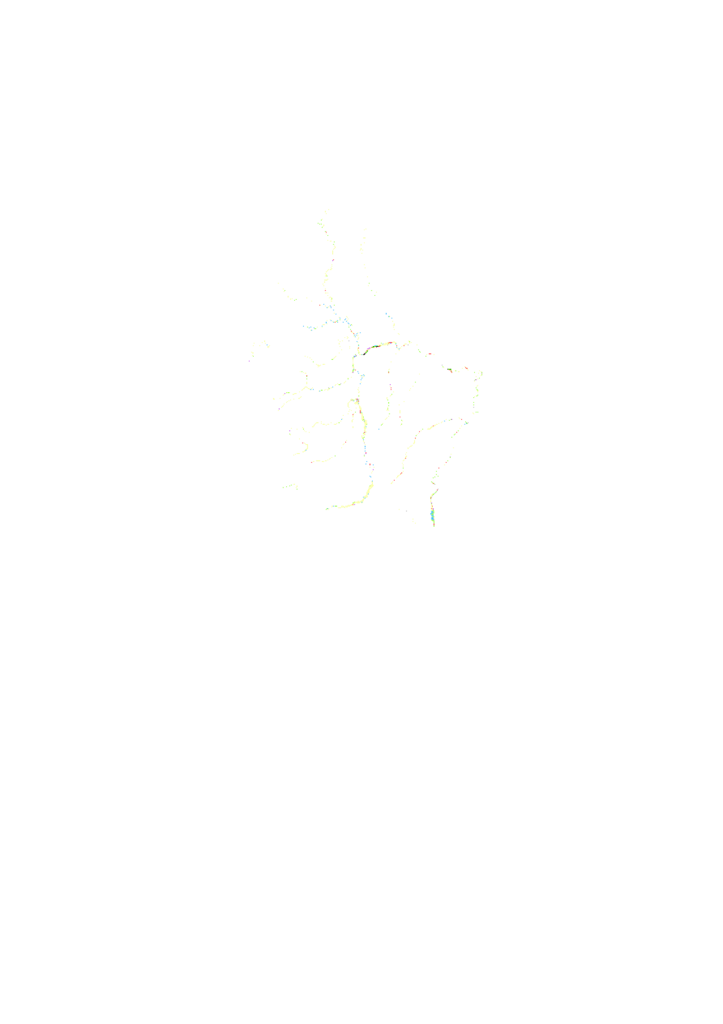
HQ10 [flood risk at high probability]
<p>Flood risk map based on the floods directive 2007/60/EC, showing the different affected uses by an 10-year flood event.</p> <p>This Layer is used for the public consultation for the project of the flood hazard an flood risk maps 2019. This consultation will be held from 17 June to 17 September.</p>
Simple
- Citation identifier
- / 31719ce0-4596-4828-a658-02e15646787a
- Presentation form
- Digital map
- Status
- On going
- Maintenance and update frequency
- As needed
-
Entités au Grand-Duché de Luxembourg
-
-
Grand-Duché du Luxembourg
-
- Keywords
-
-
potential adverse consequences associated with flood scenarios, HQ10, 10 year flood event, flood risk
-
- Keywords
-
-
geoportail.lu
-
-
geoportail.lu themes
-
-
Water
-
Lenoz
-
Main
-
-
geoportail.lu structure
-
-
Water>Floods directive [FD]>Project of the flood risk maps 2019
-
Lenoz>Floods directive [FD]>Project of the flood risk maps 2019
-
Main>Environment, Biology and Geology>Floods directive [FD]>Project of the flood risk maps 2019
-
- Access constraints
- Other restrictions
- Spatial representation type
- Vector
- Denominator
- 0
- Character set
- UTF8
))
- Reference system identifier
- EPSG / http://www.opengis.net/def/crs/EPSG/0/2169
- OnLine resource
-
Protocol Linkage Name https://map.geoportail.lu/theme/main?version=3&zoom=8&X=667917&Y=6394482&lang=fr&layers=1698&opacities=1 HQ10 [flood risk at high probability]
Metadata
- File identifier
- 31719ce0-4596-4828-a658-02e15646787a XML
- Metadata language
- Français
- Character set
- UTF8
- Hierarchy level
- Dataset
- Hierarchy level name
-
dataset
- Date stamp
- 2021-02-04T23:26:16
- Metadata standard name
-
ISO 19115:2003/19139
- Metadata standard version
-
1.0
- Metadata author
-
Organisation name Individual name Electronic mail address Role Administration de la gestion de l'eau - Division de l'hydrologie
Claude Schortgen
Point of contact
- Other language
-
Language Character encoding French UTF8 Luxembourgish; Letzeburgesch UTF8 English UTF8 German UTF8
)))