 geocatalogue.geoportail.lu
Addresses
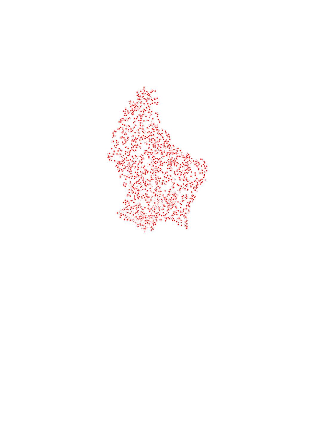
This layer contains the addresses from the official address data set created and managed by the Administration du Cadastre et de la Topographie (ACT). The street names correspond to the official national street names and town name register, the Registre National des Localités et des Rues (CACLR), which is also managed by ACT. The address points are placed in the respective centres of the largest building or of the parcel.
Simple
- Date (Creation)
- 2010-01-01T00:00:00
- Citation identifier
- / 28b310e4-b9e1-467c-a28d-fce2e9a96548
- Presentation form
- Digital map
- Status
- On going
- Point of contact
-
Organisation name Individual name Electronic mail address Role Administration du Cadastre et de la Topographie
Administration du Cadastre et de la Topographie
Point of contact
- Maintenance and update frequency
- As needed
-
Entités au Grand-Duché de Luxembourg
-
-
Grand-Duché du Luxembourg
-
- Keywords
-
- Keywords
-
-
Addresses
-
street
-
street name
-
house number
-
geoportail.lu
-
-
geoportail.lu themes
-
-
Main
-
Water
-
PAG
-
Energy
-
-
geoportail.lu structure
-
-
Main>Geographical location>Addresses
-
Water>Geographical location>Addresses
-
PAG>Geographical location>Addresses
-
Energy>Solar power>Solar cadastre
-
- Use constraints
- Other restrictions
- Other constraints
-
Creative Commons 1.0 Universal (CC0 1.0) Public Domain Dedication
- Spatial representation type
- Vector
- Denominator
- 500
- Character set
- UTF8
- Topic category
-
- Location
))
- Reference system identifier
- EPSG / http://www.opengis.net/def/crs/EPSG/0/2169
- Distribution format
-
Name Version SHAPE
- OnLine resource
-
Protocol Linkage Name OGC:WMS-1.3.0-http-get-map
https://wms.geoportail.lu/public_map_layers/service 152
OGC:WMS-1.3.0-http-get-map
http://wmts1.geoportail.lu/opendata/service?request=getCapabilities&service=WMS&version=1.3.0 addresses
WWW:LINK-1.0-http--link
https://data.public.lu/fr/datasets/adresses-georeferencees-bd-adresses/ OGC API-Features
https://features.geoportail.lu/collections/152 OGC API - Features
- OnLine resource
-
Protocol Linkage Name https://map.geoportail.lu/theme/main?version=3&zoom=8&X=667917&Y=6394482&lang=fr&layers=152&opacities=1 Addresses
- Statement
-
The street names correspond to the official national street names and town name register, the Registre National des Localités et des Rues (CACLR), which is also managed by ACT. The address points are placed in the respective centres of the largest building or of the parcel.
Metadata
- File identifier
- 28b310e4-b9e1-467c-a28d-fce2e9a96548 XML
- Metadata language
- Français
- Character set
- UTF8
- Hierarchy level
- Dataset
- Hierarchy level name
-
dataset
- Date stamp
- 2021-02-04T22:20:40Z
- Metadata standard name
-
ISO 19115:2003/19139
- Metadata standard version
-
1.0
- Metadata author
-
Organisation name Individual name Electronic mail address Role Administration du Cadastre et de la Topographie
Administration du Cadastre et de la Topographie
Point of contact
- Other language
-
Language Character encoding Luxembourgish; Letzeburgesch UTF8 English UTF8 German UTF8 French UTF8
)))