 geocatalogue.geoportail.lu
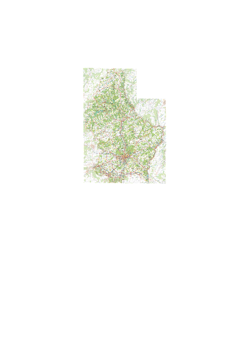
Topographical Map 1:100000
Digital topographic map at scale 1:50.000 issued from the BD-L-TC. Exists as rasterfile (TIFFormat) as well as vector-database, including a style-file for ARCGIS.
Simple
- Date (Creation)
- 2010-03-08T00:00:00
- Date (Revision)
- 2006-01-01T00:00:00
- Citation identifier
- / 266
- Presentation form
- Digital map
- Status
- On going
- Point of contact
-
Organisation name Individual name Electronic mail address Role Administration du Cadastre et de la Topographie
Administration du Cadastre et de la Topographie
Distributor Administration du Cadastre et de la Topographie
Administration du Cadastre et de la Topographie
Author Administration du Cadastre et de la Topographie
Administration du Cadastre et de la Topographie
Resource provider Administration du Cadastre et de la Topographie
Administration du Cadastre et de la Topographie
Point of contact Administration du Cadastre et de la Topographie
Administration du Cadastre et de la Topographie
Owner
- Maintenance and update frequency
- As needed
-
Entités au Grand-Duché de Luxembourg
-
-
Grand-Duché du Luxembourg
-
- Keywords
-
-
map, topography, cartography
-
- Keywords
-
-
geoportail.lu
-
-
geoportail.lu themes
-
-
Tourism
-
Water
-
Main
-
-
geoportail.lu structure
-
-
Tourism>Topographical maps>Historical topographical Maps
-
Water>Geographical location>Topography
-
Main>Geographical location>Topographical maps>Historical topographical Maps
-
- Access constraints
- Other restrictions
- Spatial representation type
- Vector
- Denominator
- 0
- Language
- Français
- Language
- English
- Language
- Lëtzebuergesch
- Language
- Deutsch
- Character set
- UTF8
- Topic category
-
- Geoscientific information
))
- Reference system identifier
- EPSG / http://www.opengis.net/def/crs/EPSG/0/2169
- Distribution format
-
Name Version TIFF
SHAPE
DXF
DWG
- OnLine resource
-
Protocol Linkage Name OGC:WMS-1.3.0-http-get-map
http://wmts1.geoportail.lu/opendata/service?request=getCapabilities&service=WMS&version=1.3.0 topo_100k
- OnLine resource
-
Protocol Linkage Name https://map.geoportail.lu/theme/main?version=3&zoom=8&X=667917&Y=6394482&lang=fr&layers=261&opacities=1 Topographical Map 1:100000
Metadata
- File identifier
- 266 XML
- Metadata language
- Français
- Character set
- UTF8
- Hierarchy level
- Dataset
- Hierarchy level name
-
dataset
- Date stamp
- 2021-02-04T22:40:33
- Metadata standard name
-
ISO 19115:2003/19139
- Metadata standard version
-
1.0
- Metadata author
-
Organisation name Individual name Electronic mail address Role Administration du Cadastre et de la Topographie
Administration du Cadastre et de la Topographie
Point of contact
- Other language
-
Language Character encoding French UTF8 Luxembourgish; Letzeburgesch UTF8 English UTF8 German UTF8
)))