 geocatalogue.geoportail.lu
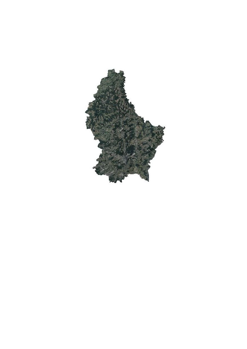
Orthophoto 2017 of the land registry and topography administration
This layer contains the official orthophotos covering the national territory of Luxembourg. The 4 surveying flights took place on 14, 19 and 20 June 2017, close to the solstice, with a sun position of > 35°. The ground sampling distance is <0,20m. The perspective displacement is in general <25%, except for Luxembourg-City, where it is <15% for a zone of 10x9km (90km2, centered on the coordinates 78000 east and 74500 north). On the borders, a zone of 50m behind the country border is included.
Simple
- Citation identifier
- / 1cdae616-1a7a-49d5-b35d-05864891641f
- Presentation form
- Digital map
- Status
- On going
- Point of contact
-
Organisation name Individual name Electronic mail address Role Administration du Cadastre et de la Topographie
Administration du Cadastre et de la Topographie
Point of contact
- Maintenance and update frequency
- As needed
-
Entités au Grand-Duché de Luxembourg
-
-
Grand-Duché du Luxembourg
-
- Keywords
-
- Keywords
-
-
Orthophoto
-
aerial
-
photograph
-
geodata
-
2017
-
geoportail.lu
-
-
geoportail.lu themes
-
-
Main
-
Water
-
-
geoportail.lu structure
-
-
Main>Land surface>Orthophoto-images
-
Water>Geographical location>Aerial and satellite photographs
-
- Use constraints
- Other restrictions
- Other constraints
-
Creative Commons 1.0 Universal (CC0 1.0) Public Domain Dedication
- Spatial representation type
- Vector
- Denominator
- 0
- Character set
- UTF8
))
- Reference system identifier
- EPSG / http://www.opengis.net/def/crs/EPSG/0/2169
- OnLine resource
-
Protocol Linkage Name OGC:WMS-1.3.0-http-get-map
https://wms.geoportail.lu/public_map_layers/service 1371
OGC:WMS-1.3.0-http-get-map
http://wmts1.geoportail.lu/opendata/service?request=getCapabilities&service=WMS&version=1.3.0 ortho_2017
WWW:LINK-1.0-http--link
https://data.public.lu/fr/datasets/orthophoto-officelle-du-grand-duche-de-luxembourg-edition-2017/
- OnLine resource
-
Protocol Linkage Name https://map.geoportail.lu/theme/main?version=3&zoom=8&X=667917&Y=6394482&lang=fr&layers=1371&opacities=1 Orthophoto 2017
Metadata
- File identifier
- 1cdae616-1a7a-49d5-b35d-05864891641f XML
- Metadata language
- Français
- Character set
- UTF8
- Hierarchy level
- Dataset
- Hierarchy level name
-
dataset
- Date stamp
- 2021-02-04T22:21:25
- Metadata standard name
-
ISO 19115:2003/19139
- Metadata standard version
-
1.0
- Metadata author
-
Organisation name Individual name Electronic mail address Role Administration du Cadastre et de la Topographie
Administration du Cadastre et de la Topographie
Point of contact
- Other language
-
Language Character encoding French UTF8 Luxembourgish; Letzeburgesch UTF8 English UTF8 German UTF8
)))