 geocatalogue.geoportail.lu
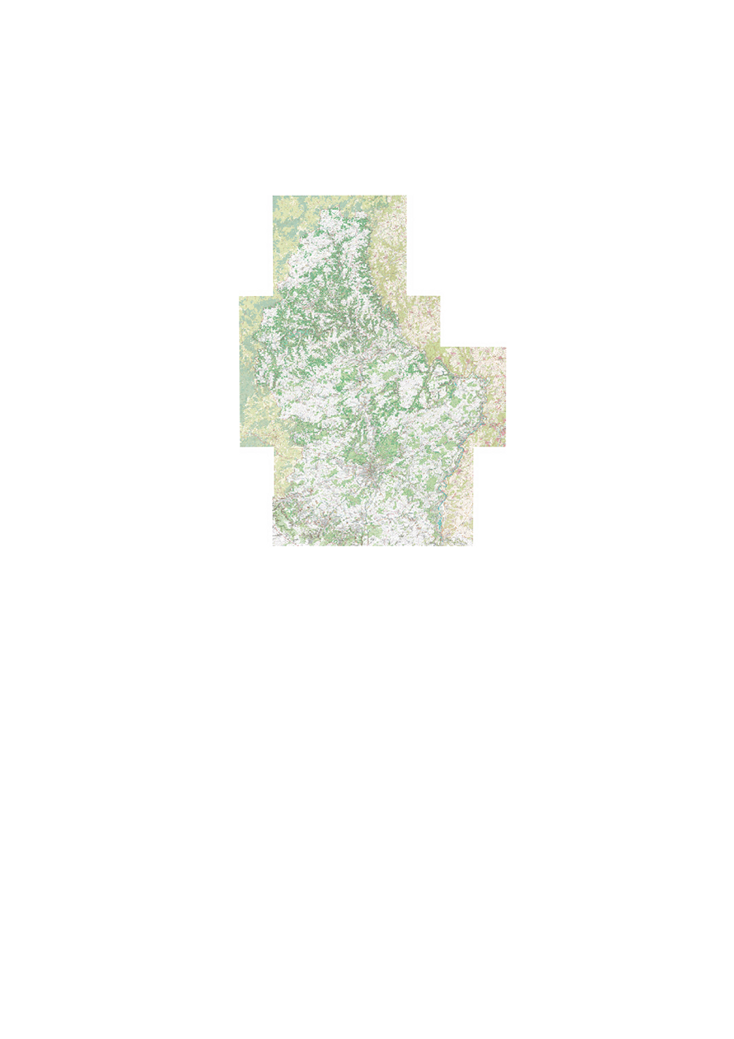
Regional tourist map 1:20000 R
Regional map of the Grand Duchy of Luxembourg. 1/20000
Simple
- Date (Creation)
- 2015-06-01T00:00:00
- Date (Revision)
- 2015-06-01T00:00:00
- Citation identifier
- / 1173_
- Presentation form
- Digital map
- Status
- On going
- Point of contact
-
Organisation name Individual name Electronic mail address Role Administration du Cadastre et de la Topographie
Administration du Cadastre et de la Topographie
Distributor Administration du Cadastre et de la Topographie
Administration du Cadastre et de la Topographie
Resource provider
- Maintenance and update frequency
- As needed
-
Entités au Grand-Duché de Luxembourg
-
-
Grand-Duché du Luxembourg
-
- Keywords
-
-
Topographic Map, Tourism
-
- Keywords
-
-
geoportail.lu
-
-
geoportail.lu themes
-
-
Tourism
-
Main
-
-
geoportail.lu structure
-
-
Tourism>Topographical maps
-
Main>Geographical location>Topographical maps
-
- Access constraints
- Other restrictions
- Other constraints
-
null
- Spatial representation type
- Vector
- Denominator
- 20000
- Language
- Français
- Character set
- UTF8
- Topic category
-
- Geoscientific information
N
S
E
W
))
- Reference system identifier
- EPSG / http://www.opengis.net/def/crs/EPSG/0/2169
- OnLine resource
-
Protocol Linkage Name OGC:WMS-1.3.0-http-get-map
https://wms.geoportail.lu/public_map_layers/service 149
https://map.geoportail.lu/theme/main?version=3&zoom=8&X=667917&Y=6394482&lang=fr&layers=149&opacities=1 Regional tourist map 1:20000 R
Metadata
- File identifier
- 1173_ XML
- Metadata language
- Français
- Character set
- UTF8
- Hierarchy level
- Dataset
- Hierarchy level name
-
dataset
- Date stamp
- 2021-02-04T23:27:51
- Metadata standard name
-
ISO 19115:2003/19139
- Metadata standard version
-
1.0
- Other language
-
Language Character encoding French UTF8 Luxembourgish; Letzeburgesch UTF8 English UTF8 German UTF8
)))